West End: An Introduction
Text
Saint Paul’s West End is Minnesota’s first urban neighborhood. With West 7th/Fort Road as its spine, it extends from Seven Corners near downtown to the overlook on the east bank of the Mississippi River across from Fort Snelling. This was also the last stretch of the historic fur trade route from Eastern states and Canada.
From the arrival of Zebulon Pike in 1805 to the West End of today, a number of recurring themes shaped this community’s development. Most symbolic of this process is the Mississippi, the Great River, which has been the integral connector for all the encounters we have experienced, understood, forgotten, and recovered.
Fort Snelling, which was constructed 1819 to 1825, at the confluence of the Minnesota and Mississippi Rivers, was built to protect our northern borders from the British and to control development in the territories. It served as the mechanism for successive treaties and distributions of former Dakota lands, which eventually resulted in supplanting the indigenous population and loss of control of their traditional lands.
For a time in the 1820s and ’30s, settlers from a Swiss colony at Fort Garry (Winnipeg), along with a mixed group of Dakota, Métis and French Canadians, were allowed to use lands adjacent to Fort Snelling. When their use of fuel and forage conflicted with the needs of Fort Snelling, they were expelled and first settled at Fountain Cave three miles downriver near what is now Randolph Avenue. A second expulsion pushed the mixed group of settlers, whiskey sellers, and ex-soldiers to begin to build around the area of the Upper Landing three miles further downstream. This settlement became the core of Saint Paul and the West End neighborhood. In the 1840s this group expanded, and with the arrival of a wave of Eastern settlers later in the decade, the growth of Saint Paul began in earnest.
As the heads of river navigation, the Lower and Upper Landings provided a destination not just for goods but also for entrepreneurs and adventurers who were ready for a new territory and the hope of a new start. Early Saint Paul’s population expanded rapidly.
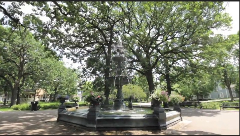
The settlement of Saint Paul was established in 1849, the same year as was the Minnesota Territory. Early settlers John Irvine, whose ferryboat dock was at the Upper Landing, and Henry Rice, a fur trader who quickly made a fortune in real estate, each donated lands for future parks. These donations may have been the first real sign that a community was about to grow here.
Saint Paul became an incorporated city in 1854. Rapid development centered at Seven Corners, the major intersection that included Third Street (the “third up from the river,” now Kellogg Blvd.), Seventh Street and Eagle Street. As the population increased, the direction of development was westward along Fort Road through Uppertown. John Irvine’s land donation became Irvine Park, and many newly rich land developers and businessmen began to build homes and businesses.
Today, the West End continues to be a community of caring connections. It maintains a wide diversity of class, culture, wealth, and lifestyle, while common concerns in development, health, and quality of life sustain forward movement and assure continuity for the generations to come.